Introducing GalaxEye Space
Over the past few years, data sources, data quality, and data collection methods have seen rapid changes. For example, take government data around kharif and rabi sowing seasons, which is an early indicator of inflation and food production for the year. If you were to ask how this data is collected, you would more often than not hear about government employees manually documenting the sample size and estimating the sowing area. Not only is this process intensive, but it is also extremely inefficient.
This is where solutions like geospatial data come into the picture. Making data collection easier, faster, and more accurate. Add to it the ease of analysing it thereafter and gathering insights, and you find several magnitudes of efficiency.
In simple terms, geospatial data is information gathered from space or low-earth orbits that describe objects, events, or other features located on or near the surface of the Earth. This data has applications in agriculture, aquaculture, defence, and general infrastructure monitoring. In numbers, the global geospatial analytics market size was valued at $79.06 billion in 2023 and is projected to grow to $262.73 billion by 2032.
All said, there is one specific problem with geospatial data, or let’s say there was. You see, the cameras imaging the earth from high above, would often encounter hindrances in the form of clouds, canopy of the trees and other obstacles. There had to be someone solving this in India right?
Introducing GalaxEye, a team working on a kind of geospatial data that combines radar capability with imaging to go beyond just pure play imaging. Solving for not just accurate spatial data, but also better quality in terms of ability to peek through clouds and other hindrances. They are a passionate team with an infectious passion. And that seeps through in the note below.
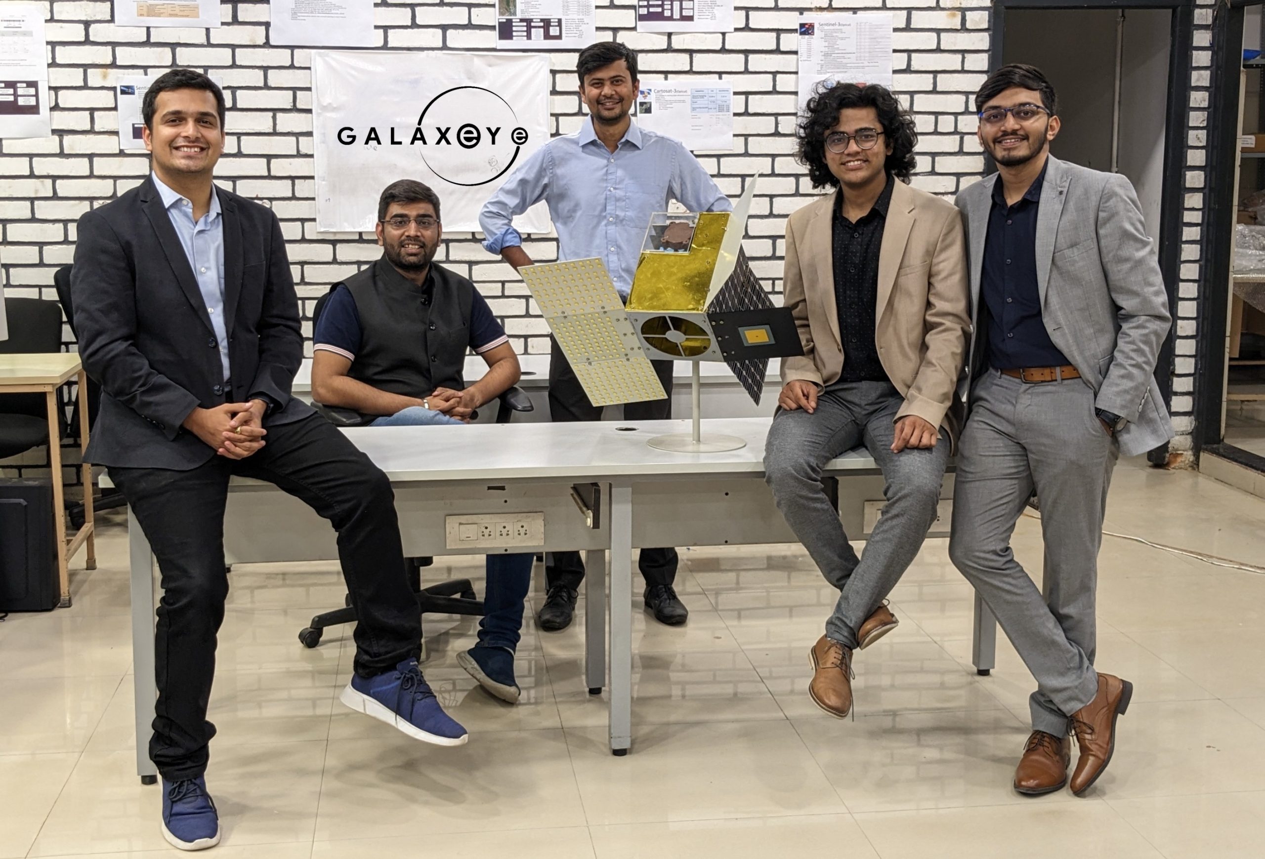
Journey Starting from Avishkar Hyperloop, IIT Madras
GalaxEye Space’s journey began within the innovative ecosystem of IIT Madras, where the founding team was initially involved in the Avishkar Hyperloop project. This ambitious project, which aimed to develop cutting-edge transportation technology, ignited the team’s passion for solving complex, real-world challenges using advanced engineering and technology. The experience laid a solid foundation in deep tech, systems engineering, and teamwork, which would become the cornerstone of GalaxEye Space’s mission to revolutionize satellite imaging.
Building GalaxEye: Identifying a Real-World Problem
Recognizing the growing need for timely and precise satellite imagery for various industries, the team transitioned from transportation technology to space technology. GalaxEye Space was born out of the realization that existing satellite systems were not meeting the urgent demands of real-time data, particularly in critical sectors like defence, agriculture, aquaculture, and finance. The founders saw an opportunity to leverage their technical expertise to create a solution that could fill this gap, thus setting the stage for the development of an advanced satellite constellation capable of delivering consistent and high-resolution imagery for effective decision-making.
Mission: Providing Consistent Satellite Imagery of Earth for Effective Decision Making
At the heart of GalaxEye Space’s mission is the commitment to delivering consistent and high-quality satellite imagery that empowers organizations to make timely and informed decisions. By deploying a constellation of satellites equipped with innovative sensors and imaging technology, GalaxEye aims to bridge the gap between data availability and actionable insights. This mission is driven by the belief that accurate and timely satellite data can transform industries, enhance security, optimize resource management, and drive economic growth.
Challenges Faced
One of the major challenges in using satellite imagery, especially in defense, is the lack of consistency in the available imagery. Existing Earth observation data is split between Optical and SAR technologies. While Optical imagery is rich in information and analytics-friendly, it is only available 30% of the time due to obstructions like clouds and nighttime. On the other hand, SAR imagery is available 100% of the time but is not as analytics-friendly. The fusion of these two types of data remains inaccurate, leading to operational challenges in acquiring high-quality, reliable imagery.
Our Solution: Hybrid Sensor Smart Satellite Constellation
GalaxEye Space is proposing a revolutionary hybrid sensor smart satellite constellation designed to overcome the limitations of existing Earth observation technologies. This constellation will acquire and fuse Optical and Synthetic Aperture Radar (SAR) data of the same place at the same time, at a pixel level. By merging these two data types, GalaxEye will create a completely new dataset that eliminates the individual setbacks of Optical and SAR sensors. This approach not only provides frequent, high-resolution, near-real-time fused data but also offers standalone SAR and Optical data.
Our Achievements
GalaxEye Space has achieved significant milestones within a short span of time:
- Technology Demonstration: GalaxEye successfully demonstrated its proprietary Synthetic Aperture Radar (SAR) technology on drones, becoming India’s first company to achieve drone-based SAR imaging. This breakthrough showcases the company’s ability to innovate and deliver advanced imaging solutions. The satellite is on track to be launched next year.
- Funding and Growth: GalaxEye has raised three rounds of funding, enabling the company to scale to a 60-member team of experts in satellite technology, data analytics, and AI. This growth reflects investor confidence in GalaxEye’s vision and execution.
- Customer Trials and Commercial Success: GalaxEye has demonstrated its technology in customer trials with the Indian defence sector, proving the operational capabilities and reliability of its satellite imagery solutions. The company has also secured commercial contracts with major enterprises like ITC, validating its market potential and business model.
- Key Verticals of Focus: Defense, Agriculture, Aquaculture, BFSI
GalaxEye Space focuses on serving four primary verticals:
- Defence: Addressing the challenge of inconsistent imagery by providing precise and timely satellite data for surveillance, reconnaissance, and mission planning.
- Agriculture and Aquaculture: Enabling farmers and aquaculture operators to monitor crop and water body health, optimize resource usage, and predict yields through high-resolution imagery.
- BFSI (Banking, Financial Services, and Insurance): Supporting risk assessment, disaster management, and asset monitoring with accurate geospatial data.
Through these verticals, GalaxEye Space is not only addressing critical needs but also driving innovation in how industries utilize satellite imagery for strategic advantage.